GST Mapper® MDCGST Mapper® MDCGST Mapper® MDCGST Mapper® MDC
  • Home
  • About
  • Solutions
  • Products
  • Contact
Request Demo

GST Mapper® MDC

  • Home
  • Products
  • GST Mapper® MDC

Advanced Mobile Mapping for Public Safety Agencies

Mobile Data Computers (MDCs) have become a fast-growing trend among public safety agencies and have been used in a variety of vehicles including police cars, fire engines, search and rescue vehicles, ambulances, and more. With its integrated system providing mapping, routing, image viewing, and vehicle locating capabilities, GST Mapper® MDC equips your agency with first-hand information and unparalleled support.

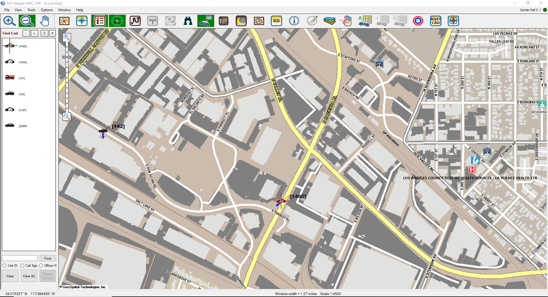
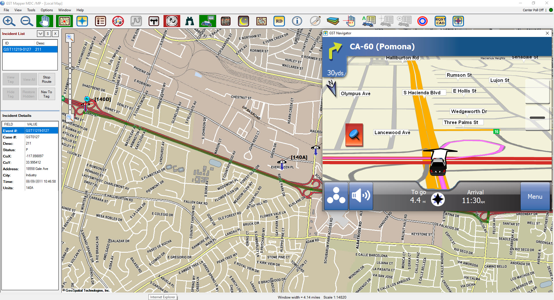
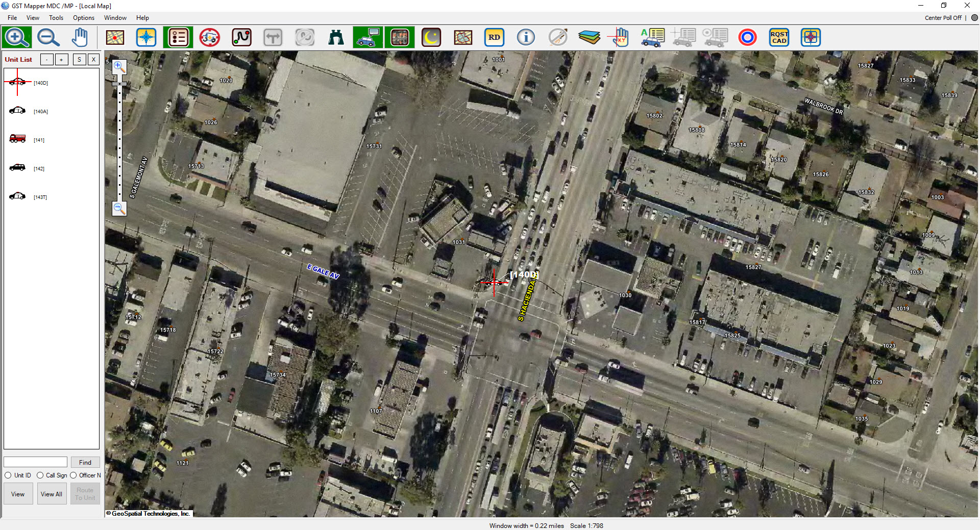
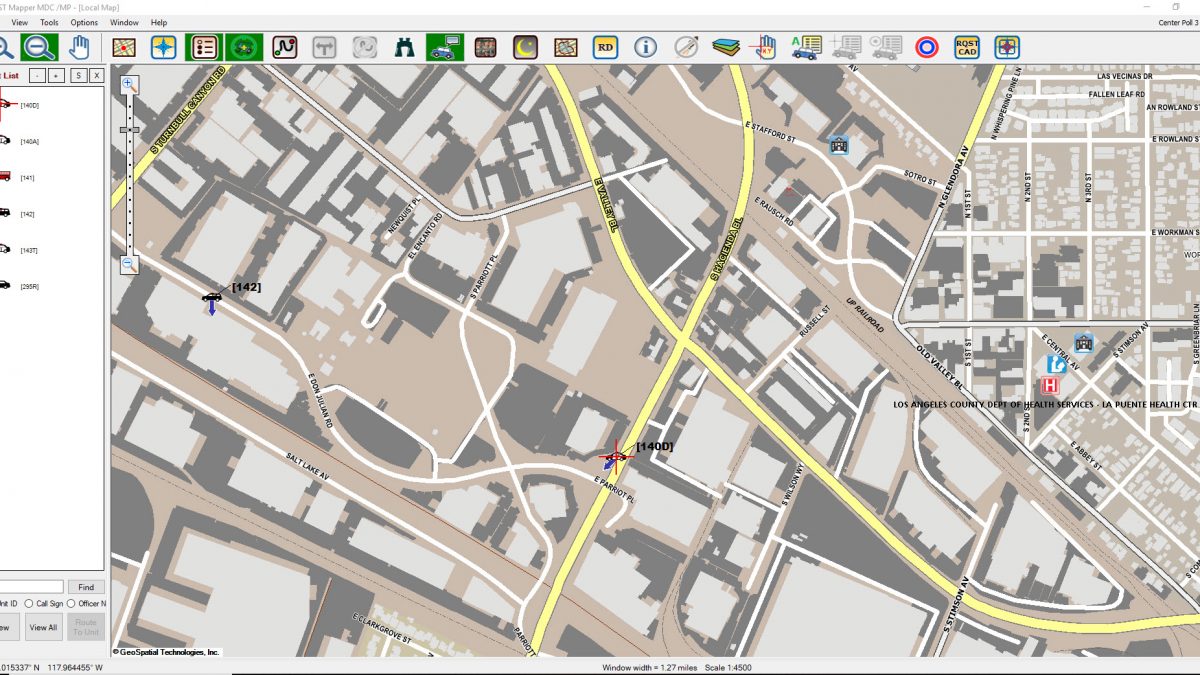
GST Mapper® MDC offers powerful and comprehensive real-time visual display and map manipulation functions, with a complete set of mapping tools for displaying vehicle and incident status and locations in real time, locating addresses, and automatically generating routes for navigation to incident locations.

MapperMDC1
MapperMDC2
MapperMDC3

General Functionality

   (GST-Hosted/Agency-Hosted)
AVL
Real-time viewing of nearby asset locations.
Dynamic Routing
Generate the fastest route between an origin and destination, including vehicle locations, addresses, and landmarks. The user may click a button to retrieve turn-by-turn directions for the route. The route is dynamically recalculated in response to either a change in vehicle position or reassignment by the dispatcher to a different incident. The system is fully automated without the need for input from field officers.
Find Location
Locate street addresses, cross streets, hospitals, facilities and landmarks.
Mapping Tools
Identify or locate locations by entering GPS coordinates in various formats, define radius rings for operational deployments, measuring tools, and more.
GIS Data
Support unlimited user-provided map layers in standard GIS format.
Layer Control
Enable each GIS layer to be set at a different scale for display/labeling.
Aerial Photo
Display agency-provided aerial photo images.
Image/Document Display
Support agency-provided, geo-referenced images of pre-plans, building floor plans, structure photos in common image formats, and digital documents in PDF format.

CAD-Specific Functionality (Optional)

   (Agency Hosted Only - GST CAD Interface Module Required)
Incident Mapping
Display the location of the incident(s) assigned to the specific unit in real time.
Route to Incident
Automatically or manually generate the fastest route from your vehicle to the assigned Incident.
Navigate to Incident
Navigate to the assigned incident with visual turn-by-turn directions.

Optional Add-On Modules

GST Navigator™ (Add-On Module)
Provides an OEM or consumer-like heads up navigation display, which offers turn by turn voice and visual directions, points of interest, and saved locations. Agencies that choose to integrate with CAD enable the ability to navigate to a dispatched incident.
GST Web Map™ (Add-On Module)
Provides access to web-based nation map data to support agencies that may not have their own GIS Map data or need to display AVL assets and CAD incidents beyond their provided GIS jurisdictional areas.

System Requirements

GST’s systems and applications are supported on Microsoft© operating systems and SQL Server database management platforms as well as on Android and Apple mobile operating systems. Specific system requirements are furnished upon request and can be tailored to any given client based on their specific implementation needs.

About Us


GeoSpatial Technologies® (GST) develops location-based technologies, incorporating Geographic Information Systems (GIS), GPS, and wireless communications for the First Responders, Public Safety, Transportation, and Fleet Management Industries.


Read more

Contact


1432 Edinger Ave, Suite 220
Tustin, CA 92780

info@geospatialtech.com


See more

Quick Links


  •      • Home
  •      • About
  •      • Products
  •      • Solutions
  •      • Contact
© 2022 GeoSpatial Technologies. All Rights Reserved.